A challenging 46k hike that can be completed in shorter sections.
The Sliabh Beagh Way follows a waymarked track between St. Patrick’s Chair and Well and Donagh Village and meanders through the valleys of County Tyrone, the drumlin hills of North Monaghan and on to the lakelands of southeast Fermanagh.
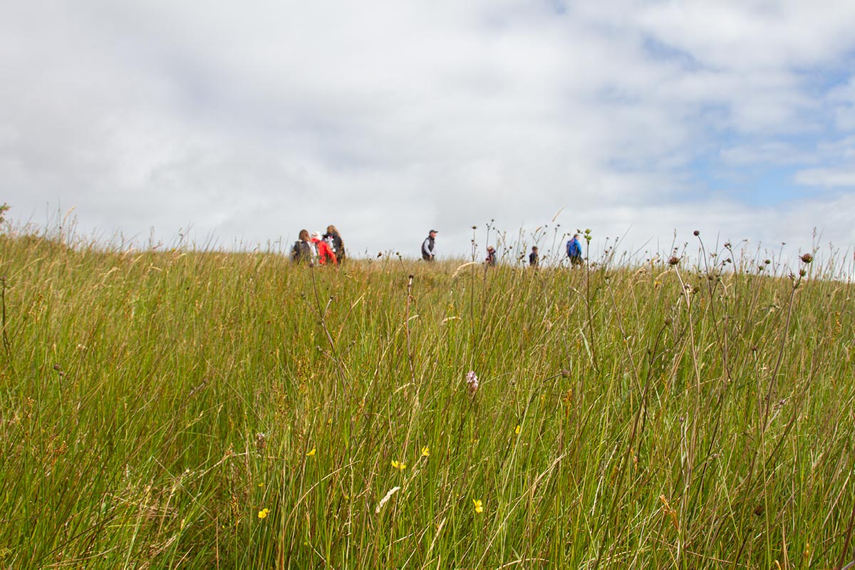
This 46k route offers something for walkers of all abilities; from those who aim to walk the entire route to those who prefer to walk along its shorter sections.
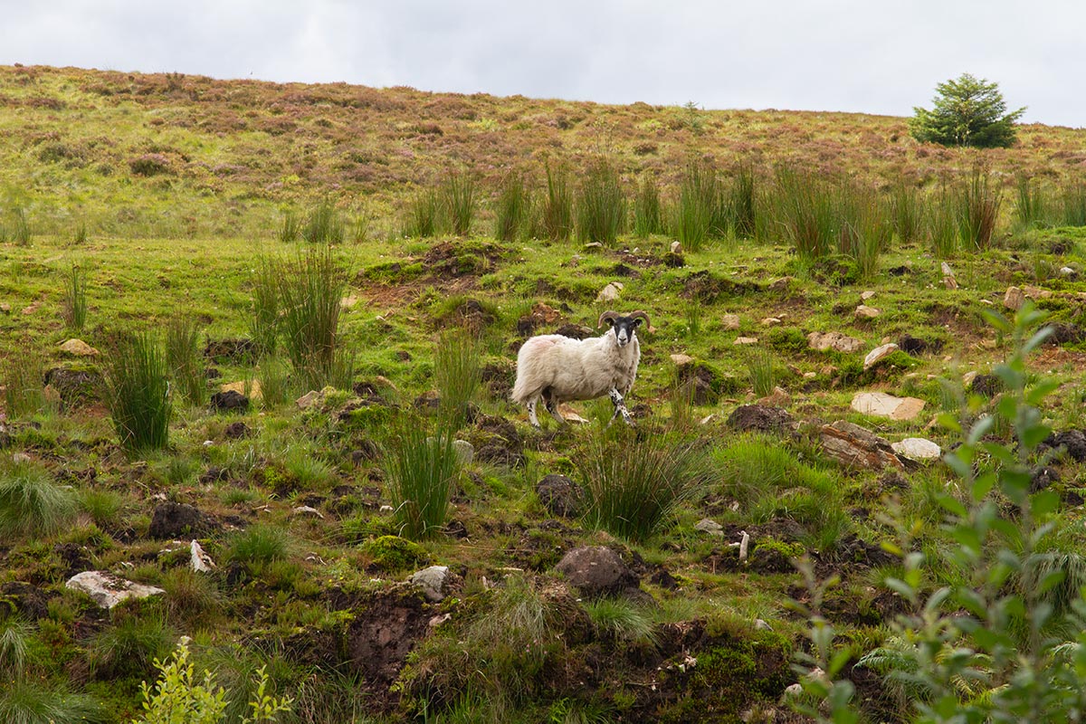
Steeped in local myth and legend, the Sliabh Beagh Way follows forest tracks, open moorland, minor roads and country lanes. The route also passes lakes, streams and standing stones before it eventually reaches the quiet village of Donagh.
The Sliabh Beagh Way starts at the car park of St. Patrick’s Chair and Well in the Glen of Altadaven, which is approximately 8km from the village of Clogher, Co. Tyrone.
Walk up the gentle slope and take the second road on the left, passing Lough More on the right as the route enters County Monaghan. Fringed by forestry plantations, the road descends to a T-junction where the route takes left and then next right towards Bragan crossroads on the R186.
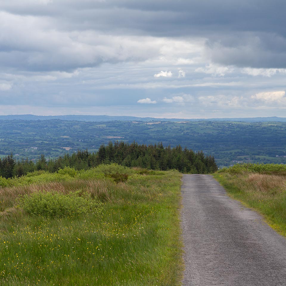
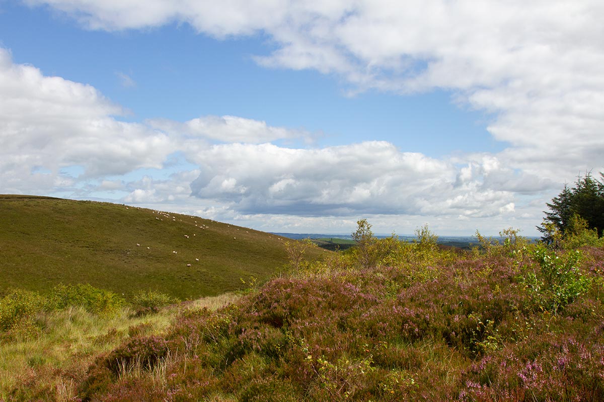
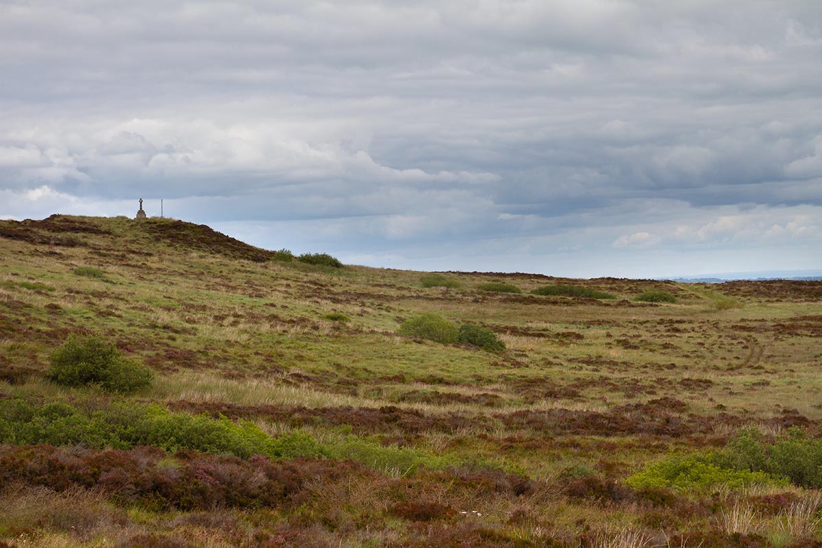
Proceed through the crossroads and follow the road as it starts to corkscrew up the eastern slopes of Sliabh Beagh. Initially the road is enveloped by hawthorn that is replaced by coniferous plantation and eventually an expanse of open bog. The road stretches straight ahead on a flat plateau leading to Bragan Penal Cross where impressive views of the surrounding countryside can be seen on a clear day.
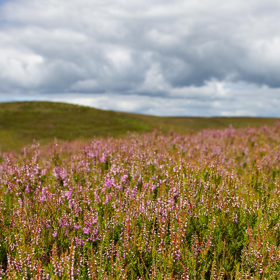
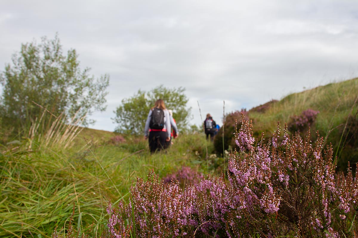
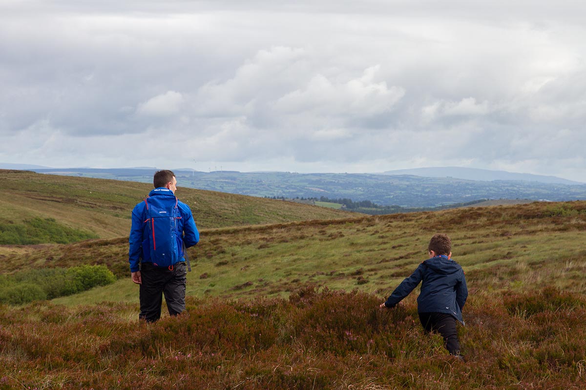
This section starts at Bragan Penal Cross. Half a kilometre along the road, take the track on the right that leads past Lough Bradan and turn left at the county road. Continue past the picnic table at the Big Rock for a short distance. Beyond this point the route cuts through open moorland where, in poor visibility, walkers will need to be confident in route navigation.
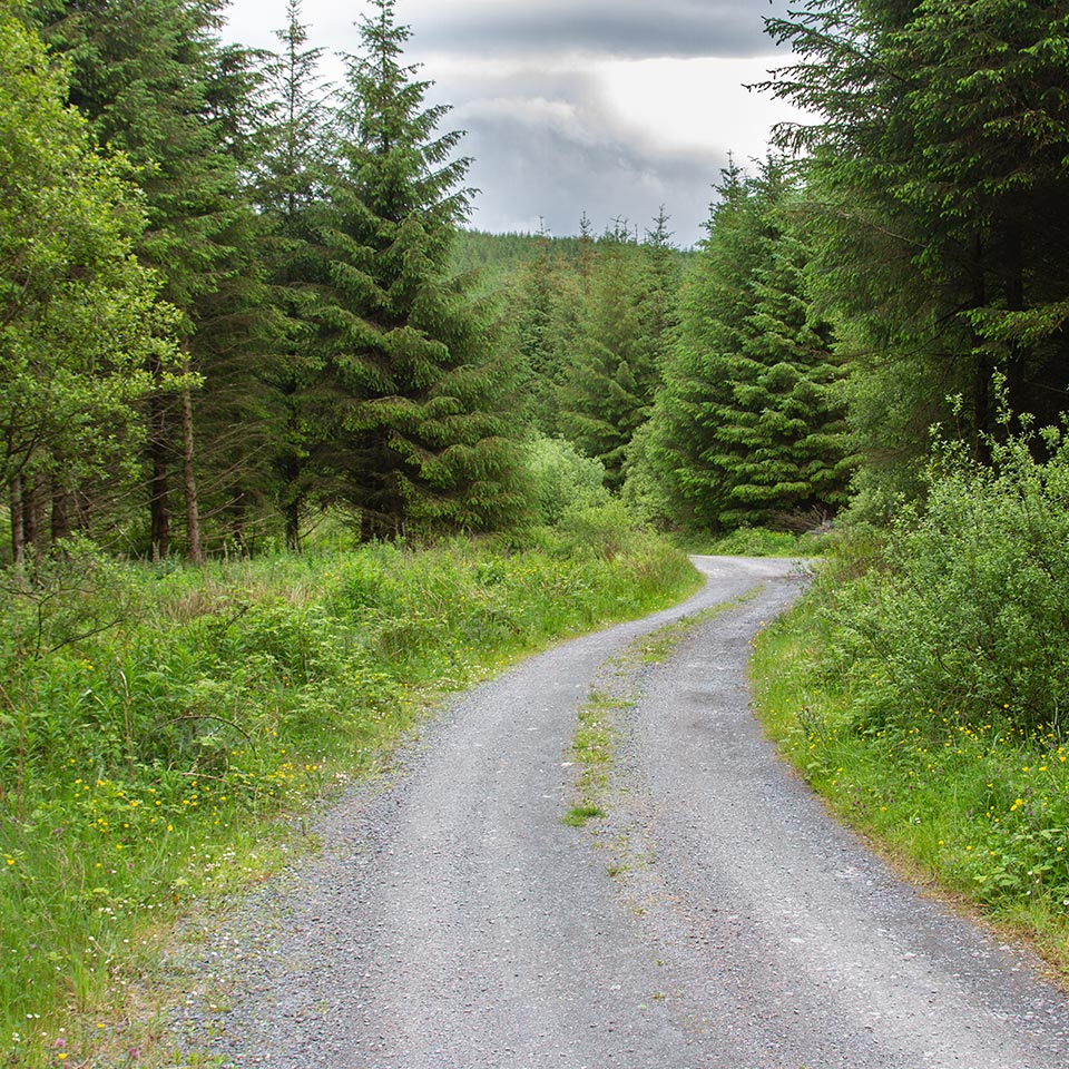
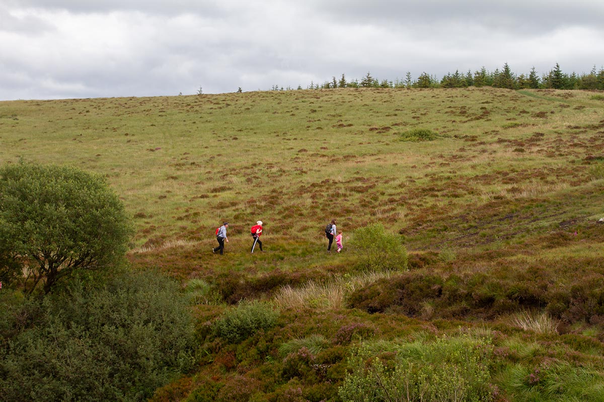
Trail markers lead right on to a track then left across the bog. Carefully cross the stream at the bridge and aim for the right of Lough Aportan before winding round to meet the track. Follow the track and walk southwards (another track on the right leads around Lough Antrawer). Follow the track until it reaches a small footbridge on the right and cross it onto the bog, keeping parallel to the forest for a short. Look for a footbridge lower down on the left that crosses the Colebrooke River and cross. You are now in County Fermanagh and Mullaghfad Forest. Turn left onto the forest track and as it descends to the road, keep left. At the end of the forest, a gate leads to a minor road at Muckle Rocks.
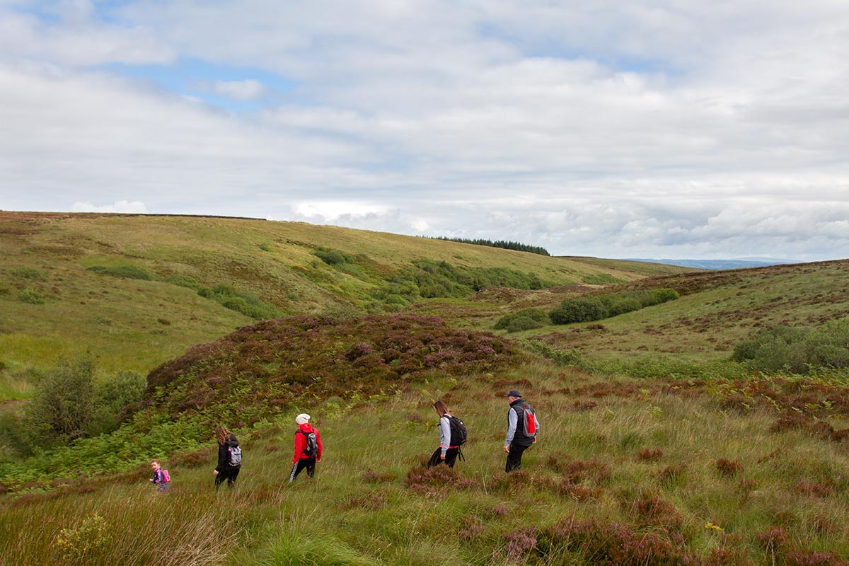
This section of the Sliabh Beagh Way begins at Muckle Rocks and follows the minor road past Mullaghfad Church. At the next junction turn left and after approximately 1k, take the steep track on the right to enter Mullaghfad Forest. Follow the track through the forest and past a track on the left that leads to a small lake (Lough Nabraddogh) before reaching a T-junction. At this point, turn left to walk past Lough Cushkerry on the left and carry on to reach Lough Jenkin with its stone walls and steps.
Starting at Lough Jenkin, the route continues along the track before turning left. It then swings around, passing a track on the right to continue past Lough Nadarra on the right. Turn right at the next junction and follow the track downhill to reach the county road. Again, turn right and carry on to the crossroads at Altawalk where the route turns left and begins the climb up to the spectacular viewpoint at Carnmore.
From the starting point at Carnmore (Carn Rock), the route retraces its steps back down the hill and takes the first lane on the left. The walk then leads downhill to Lough Corry in Doon Forest. Continue through the forest passing several tracks until a junction where the track swings uphill to the left. Follow this path uphill and at the next junction, turn left and continue uphill. Turn right at the next junction and follow the track as it goes downhill past Eschleagh Lough before reaching the country road. Turn right and follow this road for approximately 1k.
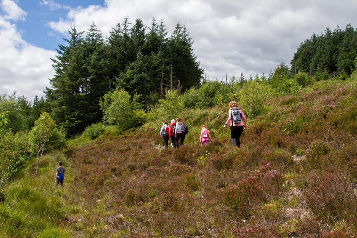
On the left, a path across a footbridge leads into the forest. Follow the path until it reaches a lane that leads to the county road where the route takes a left and then the next right to enter Tully forest. Continue on through the forest gate and keep straight on ignoring all side roads until the route comes to a large crater on the track. Follow the path around the crater and at the next junction turn right. Continue for about 1km to reach a farm lane where the route turns left. Within 100 metres, turn right to a minor road. Continue to the end of this road and the small forest car park at Tully.
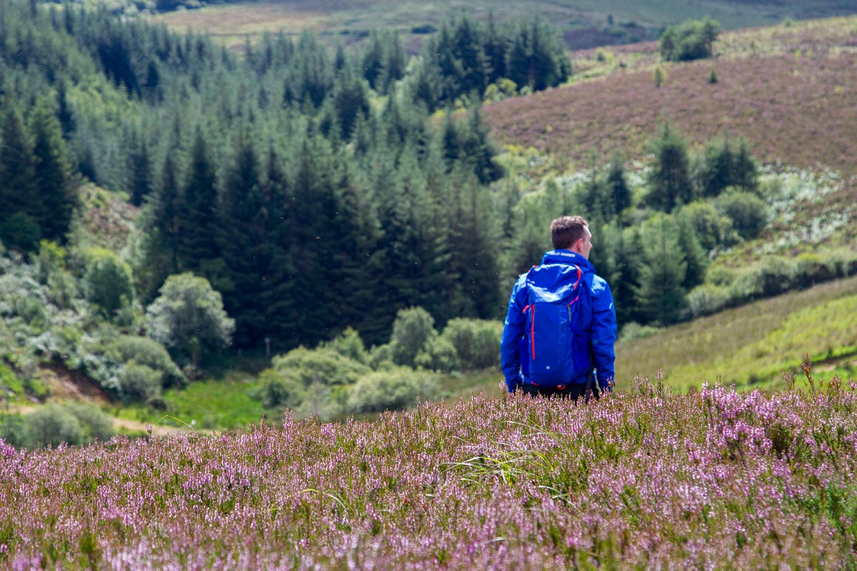
From the car park at Tully, follow the road downhill. Notice the stunning contrast of forest, bog, green fields and mature beech trees as the route makes its way to the stop sign at the next T-junction. At this point, turn left and continue straight through Ballagh Crossroads.
At the next junction, turn right up a gentle slope and follow the road as it swings to the left and downhill through hedgerows lined with an abundance of wild flowers. Turn right at the small crossroads passing Kilmacbrack Lough on the left before finally reaching the quiet village of Donagh.
Download this trail as a KML file to your phone or desktop.
DownloadNeed help? Here’s how to view this file on your device.